Post Category : Heritage Management
Introduction to CRM Part 3: Archaeological Survey
Using information compiled in the office, the next step of an HRIA is to leave the comforts of home behind and to venture into the field. Although there is a perception of archaeologists working at large excavations, often dressed in khakis and maybe wearing a fedora, archaeological survey is the most common type of field work in the CRM sector. So for now, we will focus on archaeological survey and discuss archaeological mitigation in an upcoming blog.
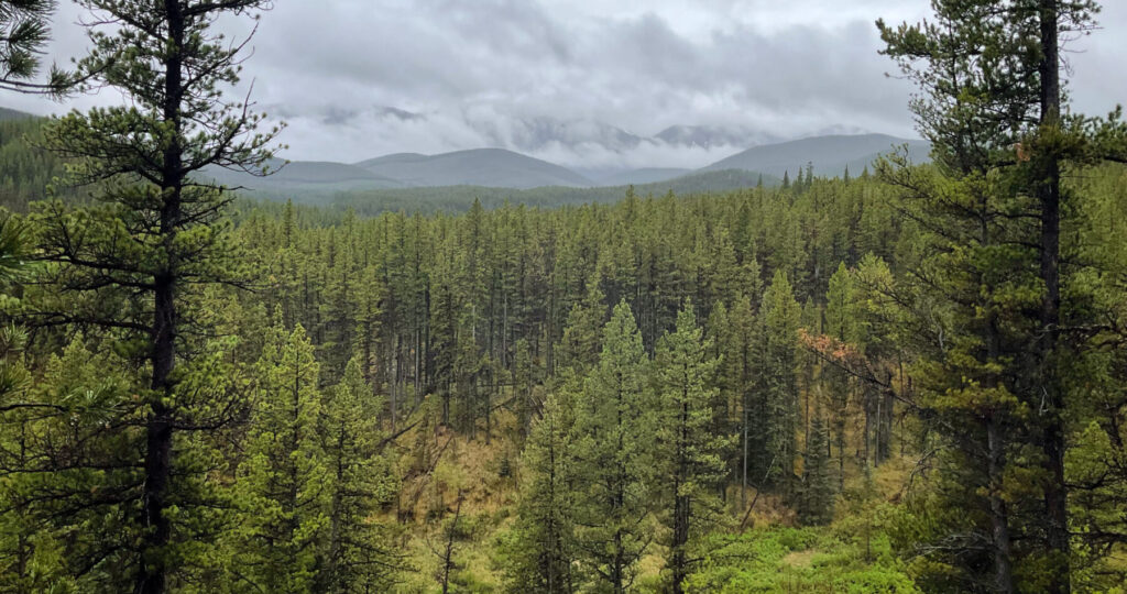
The purpose of an archaeological survey is to visit the high potential target areas we identified in our background research and GIS review in order to see if there are any historic or archaeological sites. We travel to these high potential locations using various means of transport including trucks, ATVs, Argos, the occasional helicopter for the most remote locations, and a lot of hiking (Figures 1 and 2).


When we arrive at these locations, we use experience and expertise to determine if the landform has potential for archaeological and historic sites. For example, is this spot flat and dry? Would we like to camp or hunt from here? High, dry areas, and spots that have nice views are often tested. In fact sometimes we identify a site in the exact spot where we dropped our gear for lunch, as we naturally tend to stop on the best part of the landform (Figure 3).

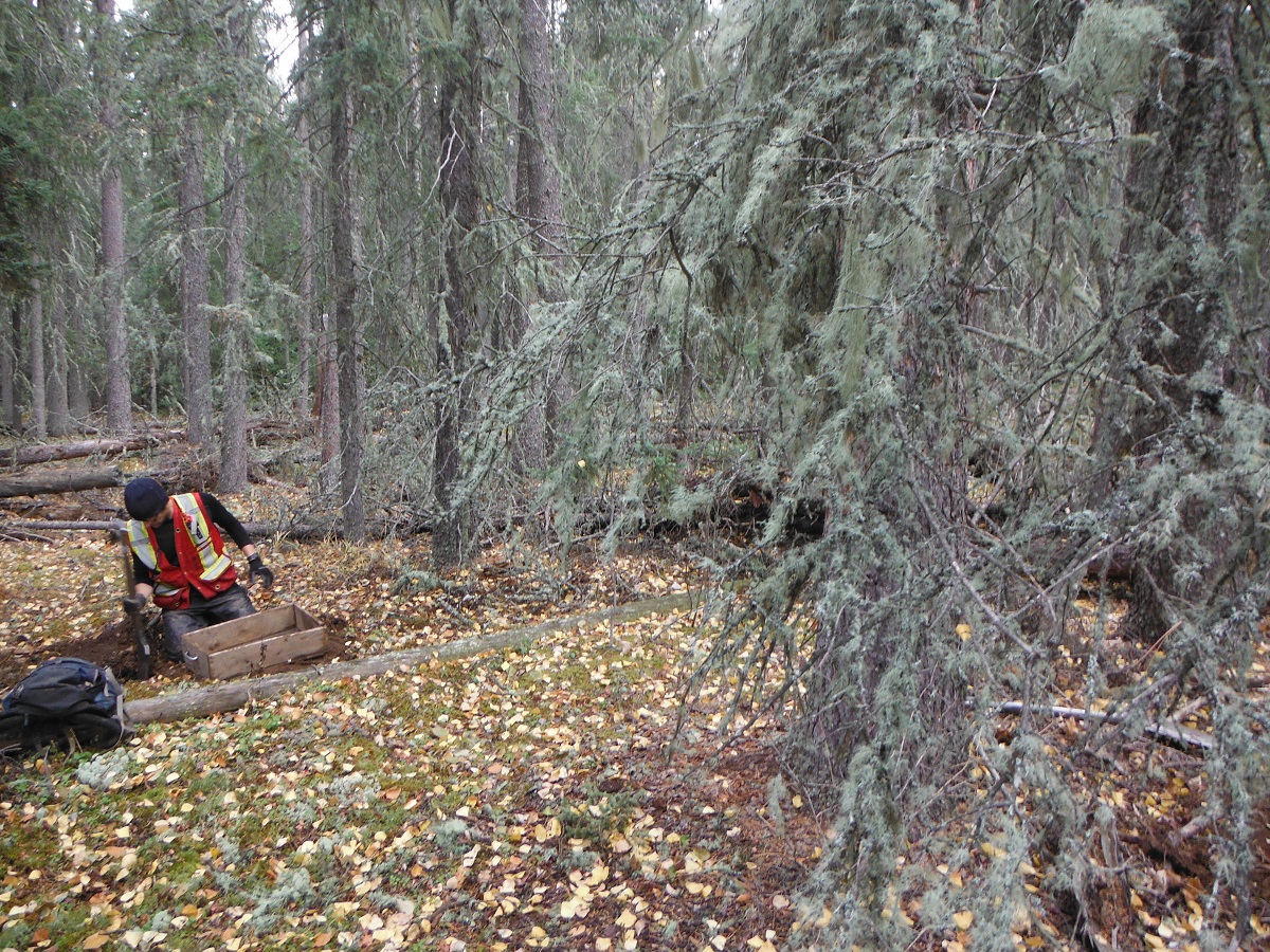
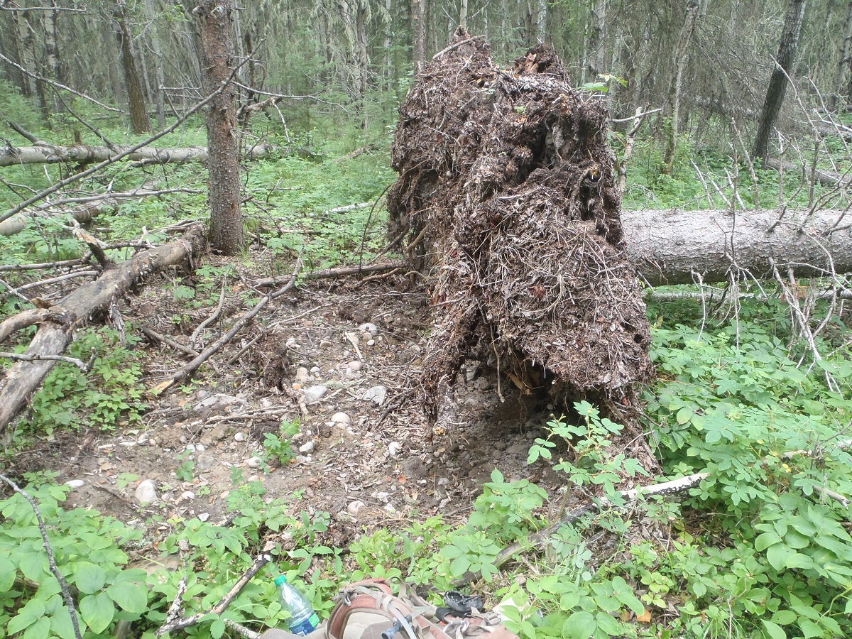
The most common method of subsurface sampling that we use is screened shovel tests (Figure 4). This means we dig holes about 40 cm square and 30 to 40 cm deep and screen all of the sediment in portable screens. If there are any tree throws or surface exposures, we also conduct opportunistic examinations of these for artifacts (Figure 5).


There are several different sampling strategies that we use, these include systematic, semi-systematic, and judgmental testing. Systematic testing is the term we use when we place tests using a set interval, for example digging a test every 10 m along a landform. For judgmental testing we do not use a set interval instead we place shovel tests on the best part of a landform based on our past experience and conceptual models of how people lived on different types of landforms. Finally, semi-systematic testing is a combination of the previous two. For this method we place tests on the best locations of a land-form while trying to maintain a certain overall density of testing.
The shape of the landform helps determine what type of sampling strategy to use to test a target. A long uniform ridge might be better suited for hybrid or systematic testing, while a hillock might be more often tested in a judgmental manner (Figure 6).

If the tests are negative, then we write our notes and move on to another location to survey. However, this does not mean that we can definitely say there is not a site at the location. Negative results only reduce the chance there’s a site at a location. To be 100% sure, we’d have to do a lot more excavation (Figure 7).

On the other hand when we do identify a site, then we stay at the location to undertake further evaluative testing (Figure 8).


