
Post Category : Heritage Management Method & Theory
Finding Archaeological Sites from the sky using high-tech advances in archaeology

By Corey Cookson on February 20, 2017
In recent months, news feeds have been erupting with stories of “Lost Maya Cities discovered using LiDAR”, “revealing the secrets of Stonehenge using LiDAR”, “LiDAR uncovers ancient city near Angkor Wat”, and the popularity of “space archaeologist” Sarah Parcak, but this technology is not limited to finding the remnants of “lost civilizations” in far reaching corners of the globe. LiDAR is used by archaeologists in Alberta to assist in the locating of potential archaeological sites that are threatened by development.

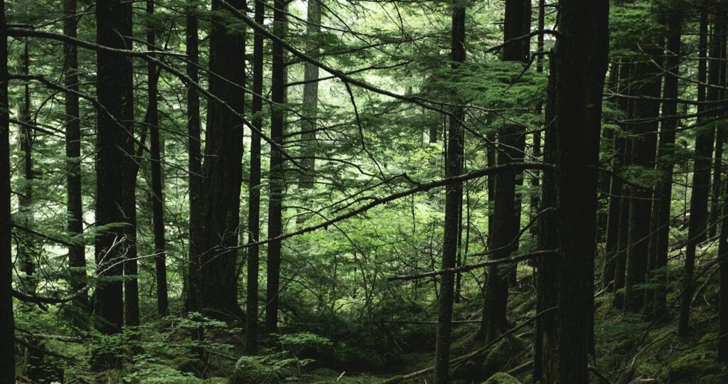
Light detection and ranging (LiDAR) is the process of mounting a laser on an aircraft and bouncing light pulses off the ground and measuring the time it takes for the laser to return. The process can take 2000-5000 measurements per second and makes the surface appear treeless, revealing surface features that cannot be seen using simple satellite imagery or aerial photos (Figure 1). However, using LiDAR to find archaeological sites in northern Alberta is not as easy as it can be in other parts of the world. LiDAR is great for identifying building structures, walls, and other features common of archaeological sites in other parts of the world. In northern Alberta these features are absent from Indigenous archaeological sites. To study the human history of northern Alberta prior to European contact we have to look at the landscape and identify landforms that would have been suitable for camping and hunting activities.


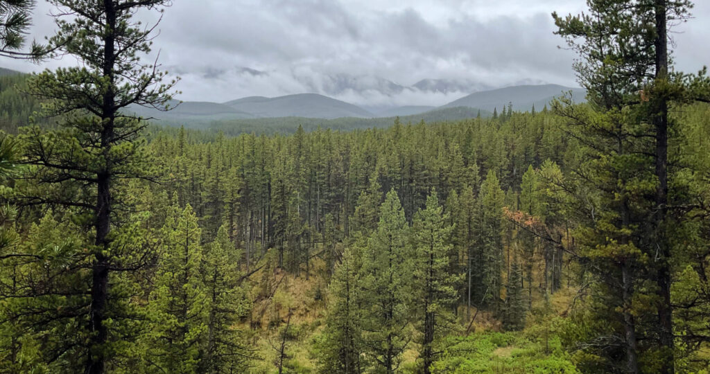
In the above images, the first image is a satellite image of a ridge where we found an archaeological site (Figure 2). With just satellite imagery the area appears to be predominantly flat which is not a good area to camp or hunt. This is because the area would be thought to be poorly drained and with limited visibility of the surrounding terrain. When using LiDAR imagery (Figure 3) we notice there is a complex of distinct hills and ridges that would be ideal for making camp.
This technology has revolutionized the process of finding archaeological sites in Alberta and is revealing more about the history of people in the boreal forest. The ability to pinpoint the best landforms without having to do extensive on-the-ground survey has greatly increased the inventory of sites found in northern Alberta. This benefits our clients who will pay less money for the survey of their developments and we can make more accurate predictions about site locations which allow them to modify their developments to avoid potential sites.
Related Posts

By Fallon Hardie
February 12, 2025
Culturally Modified Trees of the Interior, British Columbia
A Foreword For the Archaeologists who’ve found themselves interested in the niches of Ecology and Landscape-Use-Dynamics, we tend to recognize the landscape as a dynamic whole; a manuscript of activities, knowledge, and ideologies that human societies have crafted and applied to the environments in which they live. However, Professional Consulting Archaeologists in Cultural Resource Management
Keep Reading
By Fallon Hardie
June 20, 2024
National Indigenous Peoples Day, 2024
The Role of Indigenous Engagement in the Stewardship of Cultural Landscapes National Indigenous Peoples Day is a celebratory holiday to commemorate the culture, heritage, and contributions of the Indigenous population of Turtle Island (Canada). This year, we would like to highlight the significance of Indigenous involvement in forestry-based archaeological assessments, and research programs throughout the
Keep Reading
By Corey Cookson
October 17, 2023
International Archaeology Day
What is it? International Archaeology Day is a celebration of Archaeology and it’s contributions to society! International Archaeology Day annually falls on the third Saturday of October (October 21st), and was first celebrated in 2011. The day was originally designed on a national level to help promote public participation and awareness of the important contributions
Keep Reading