
Post Category : Archaeonerdism Glossary Method & Theory
Ground Penetrating Radar

By Corey Cookson on February 18, 2019
Ground-Penetrating Radar (GPR) is the process of sending radiowaves through the ground. As these radiowaves pass through the ground, any change in the subsurface materials will cause some energy to be reflected back to towards the surface while the remaining energy continues deeper. This information is recorded by a receiver which records the time it takes the wave to travel from the source, reflect off the buried object or disturbance, and travel back to the surface. The receiver converts this signal into a depth for the disturbance or object under the ground.
The ability to map and record information below the earth’s surface without excavating is a valuable tool to an archaeologist. The excavation of archaeological sites is a destructive process, so having a non-invasive way to analyze and interpret sites is sometimes necessary. This is particularly important when dealing with sensitive cultural remains and unmarked graves.
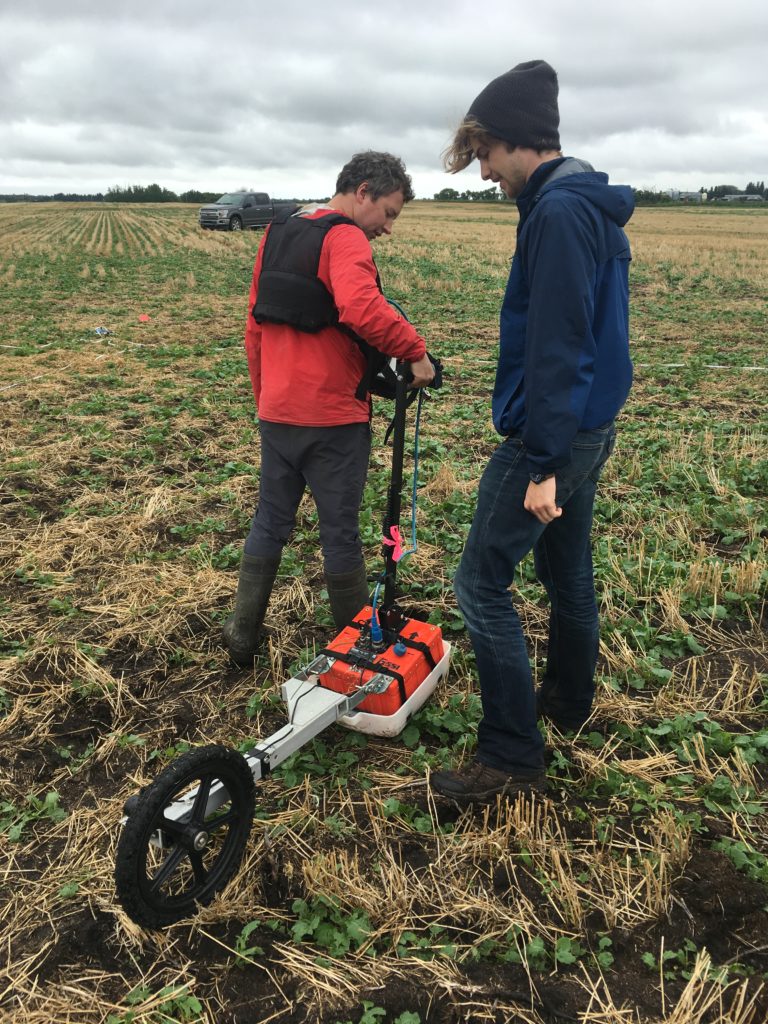
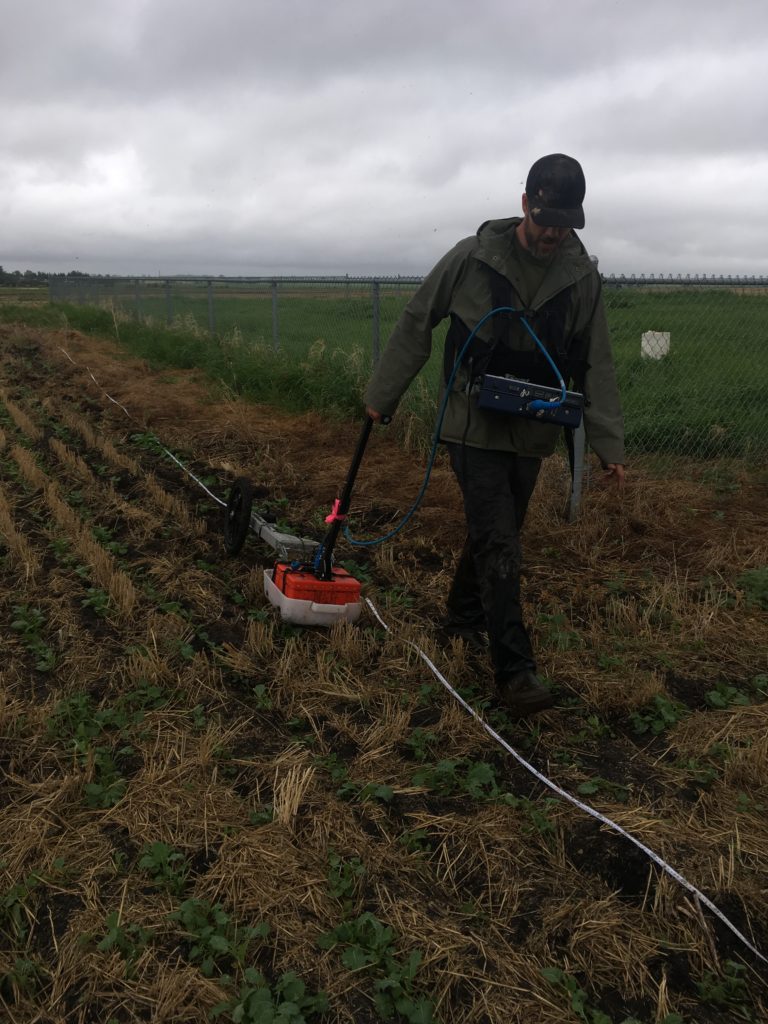
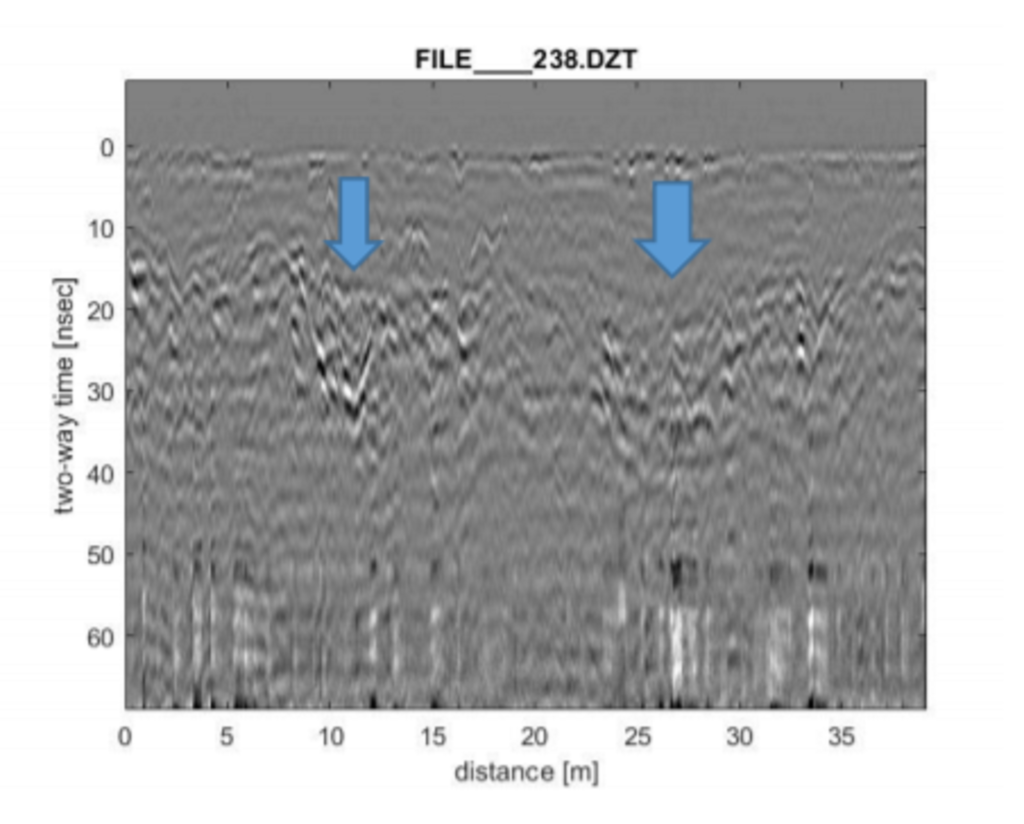
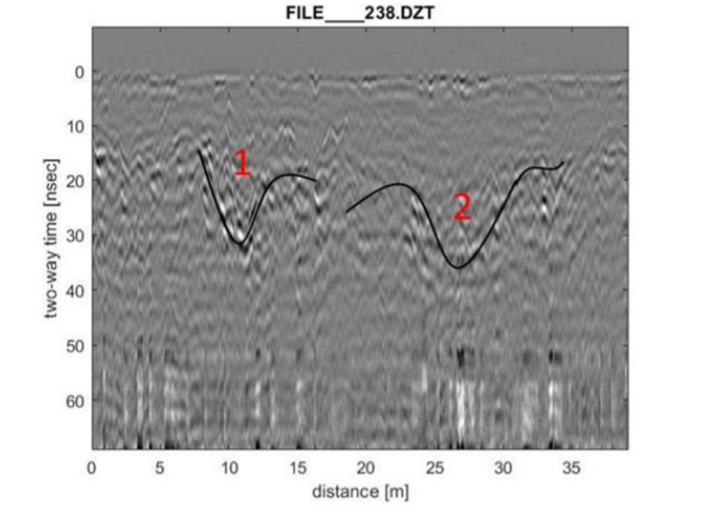
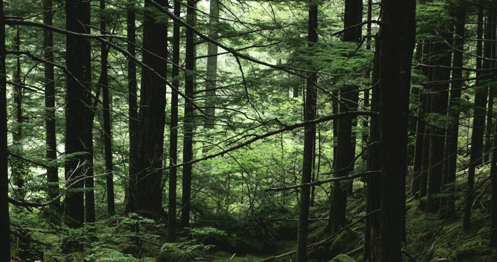
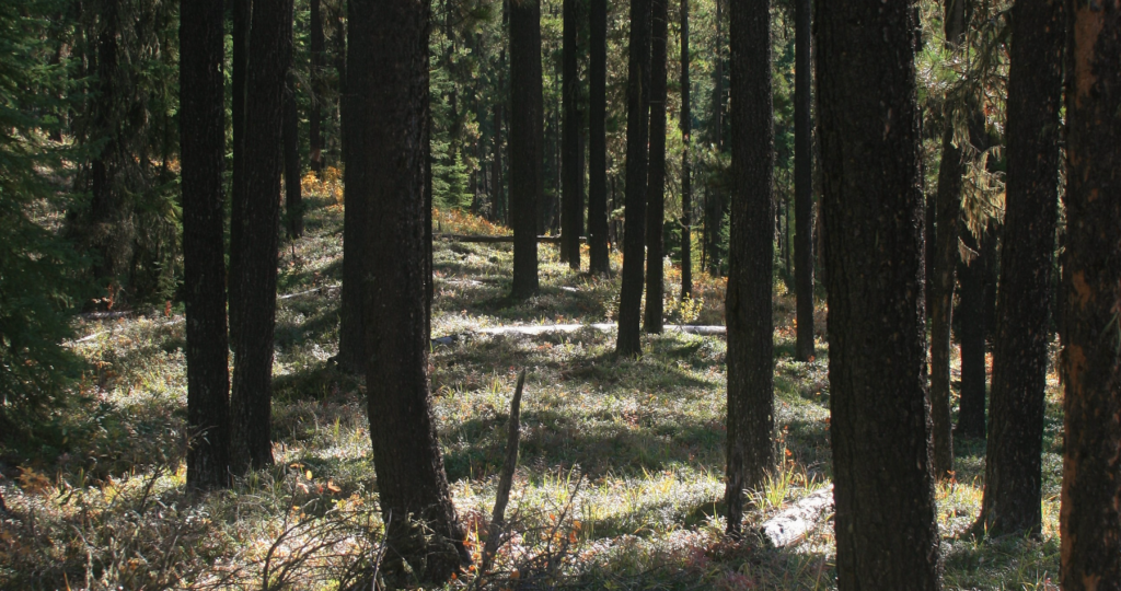
As part of an Archaeological Society of Alberta project, Tree Time Services Archaeologists, Corey Cookson and Brian Leslie, and University of Alberta Graduate Student, Liam Wadsworth, completed a GPR scan of an area identified by a local community as having possible unmarked graves. The team spent the afternoon surveying a grid to identify possible grave-shaped anomalies. The data was analyzed and the GPR scans revealed several clear grave-shaped anomalies 1.5 m beneath the surface. Some of the grave-shafts were narrow and may have contained a single individual (Figure 3, #1), while others were wider and may represent a burial pit with multiple individuals (Figure 3 #2, at least 5 m wide). This larger internment may have been the result of mass burial. It was speculated that these graves were dug around the time of the First World War and the Spanish Flu pandemic.
Related Posts

By Fallon Hardie

January 28, 2026
Archaeology in Pop Culture
Anyone whose a bit of a movie buff is well-aware of the strong archaeological influence in the Action-Adventure genre. Formative classics like Indiana Jones, The Mummy, and Tomb Raider, for instance, all feature heavy archaeological influences — but not exactly positive ones. Sure, everyone’s beloved Indy battles Nazi’s, Lara Croft is a strong female icon,
Keep Reading
By Fallon Hardie
February 12, 2025
Culturally Modified Trees of the Interior, British Columbia
A Foreword For the Archaeologists who’ve found themselves interested in the niches of Ecology and Landscape-Use-Dynamics, we tend to recognize the landscape as a dynamic whole; a manuscript of activities, knowledge, and ideologies that human societies have crafted and applied to the environments in which they live. However, Professional Consulting Archaeologists in Cultural Resource Management
Keep Reading
By Maegan Huber
January 31, 2025
Alberta’s Boreal Sand Hills
Alberta’s Boreal Sand Hills Some people may be surprised to learn that Alberta is home to a series of large sand hill complexes made up of large forested dune features. Typically, when we think of sand dunes we tend to picture hot and dry regions with minimal vegetation, often situated near oceans. However, Alberta’s boreal
Keep Reading