
Post Category : Heritage Management
Introduction to CRM Part 4: Evaluating a Site

By Britt Romano on January 30, 2017
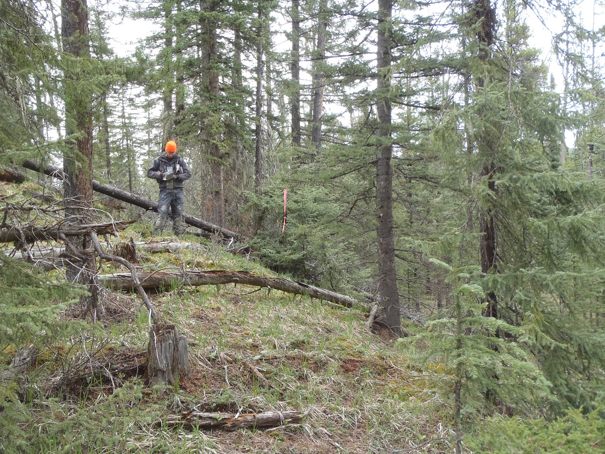
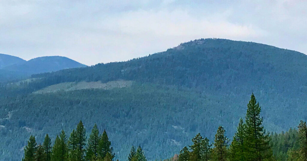
When we identify a site, we conduct further evaluative testing to determine the type, character, and extent of the site. This is done according to government guidelines, and depends on the type of site, and the type of landform. If the landform allows for it, testing occurs in each cardinal direction or in a grid. Some sites are found on ridges or point terraces, and so in these cases, it is not possible to test in all directions (Figure 1).
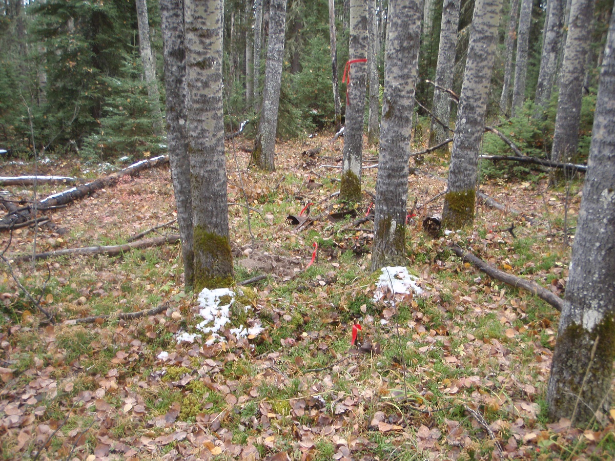
Tree Time’s standards are that there must be three negative tests spaced at most 10 m apart in each direction from any positive. Sometimes additional tests are required in order to determine the significance, the size, and type of the site. For example if none of the evaluative tests were positive, further testing might be done at closer intervals to better determine the significance of the site. In addition to rigorous note taking, we also map and photograph the site (Figure 2).
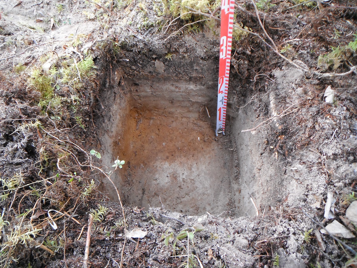
The evaluation of the site is an important step for two main reasons. The first is to enable the government to maintain an accurate site database and to better inform future researchers of the size and type of sites are in the area (Figure 3).
Secondly, in this stage we determine the extent and significance of the site. If a client decides to avoid the site, delineation allows us to more precisely buffer the site. This is important because it allows the development to occur as close to the original plan as possible while still avoiding impacts to the site. In addition, if a client chooses to mitigate their impacts to the site through excavation, a more detailed evaluation of a site allows us to better predict the productivity of the site, and to render cost estimates of any mitigation work more accurately.

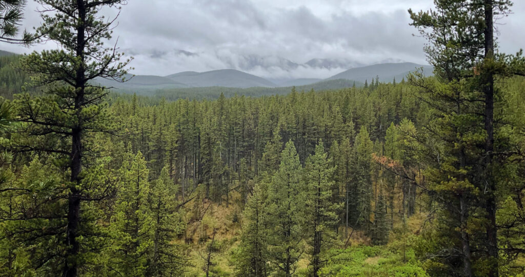
Once we have surveyed our targets, evaluated any sites we have found, and have finished our notes, it is time to return to the office (Figures 5 and 6).


Related Posts

By Fallon Hardie

February 12, 2025
Culturally Modified Trees of the Interior, British Columbia
A Foreword For the Archaeologists who’ve found themselves interested in the niches of Ecology and Landscape-Use-Dynamics, we tend to recognize the landscape as a dynamic whole; a manuscript of activities, knowledge, and ideologies that human societies have crafted and applied to the environments in which they live. However, Professional Consulting Archaeologists in Cultural Resource Management
Keep Reading
By Fallon Hardie
June 20, 2024
National Indigenous Peoples Day, 2024
The Role of Indigenous Engagement in the Stewardship of Cultural Landscapes National Indigenous Peoples Day is a celebratory holiday to commemorate the culture, heritage, and contributions of the Indigenous population of Turtle Island (Canada). This year, we would like to highlight the significance of Indigenous involvement in forestry-based archaeological assessments, and research programs throughout the
Keep Reading
By Corey Cookson
October 17, 2023
International Archaeology Day
What is it? International Archaeology Day is a celebration of Archaeology and it’s contributions to society! International Archaeology Day annually falls on the third Saturday of October (October 21st), and was first celebrated in 2011. The day was originally designed on a national level to help promote public participation and awareness of the important contributions
Keep Reading