
Project Category : Forestry
Alberta Plywood Historical Resources Management Program
Minimize the impact of Alberta Plywood’s forest harvest operations on Alberta’s archaeological record.
The Task
Minimize the impact of Alberta Plywood’s forest harvest operations on Alberta’s archaeological record.
Special Considerations
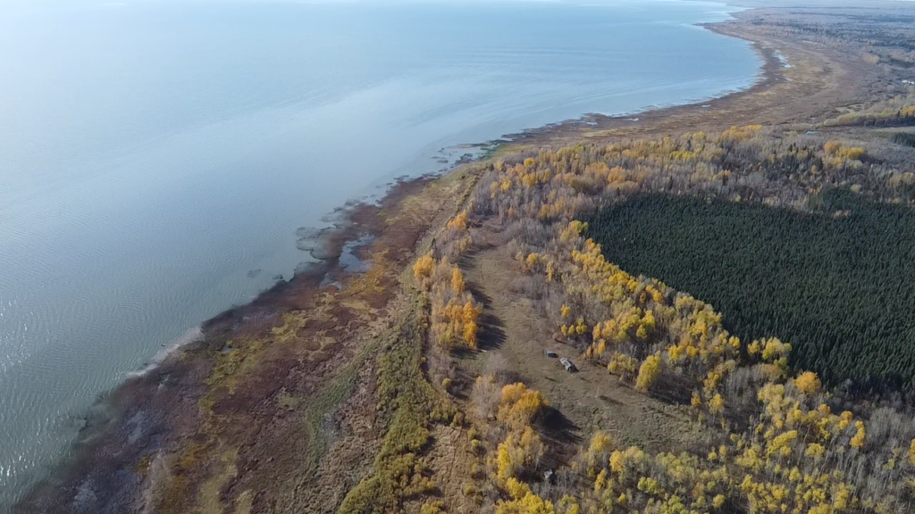
Alberta Plywood’s (APL) forest harvest developments are a massive and widespread operation. Alberta Plywood’s Annual Operating Plan (AOP) submissions include up to 10,000 hectares of cutblocks and 400 km of roads. These developments are spread over a very wide area in north central Alberta, from the Swan Hills to Red Earth Creek.
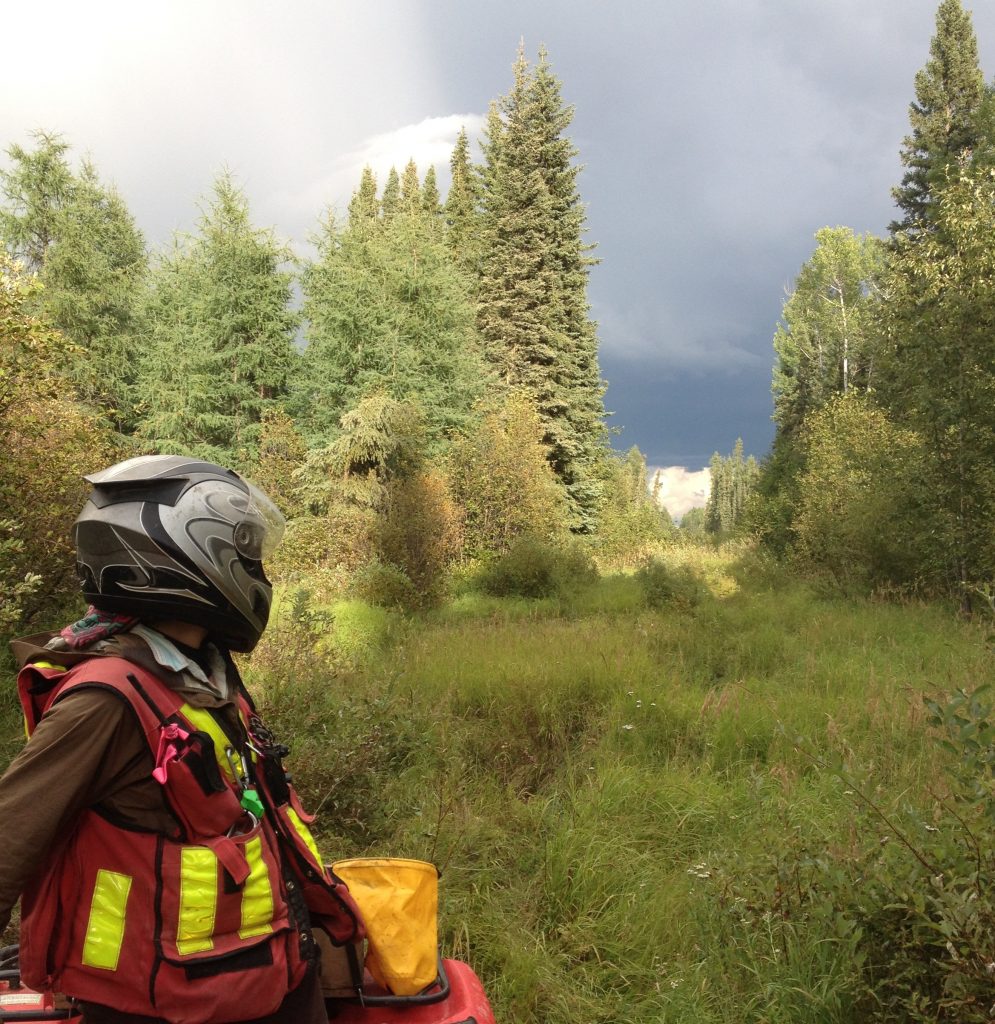
Access is a major issue in APL’s operating areas. Many of the areas have little oil and gas development and therefore no all-season roads. The wet boggy ground is generally considered winter access only, but archaeological surveys must be conducted under snow-free, frost-free conditions. Tough access means ATV safety is a major concern.
Alberta Plywood is dedicated to improving communication with First Nations in their operating area. To that end, Ember has partnered with the Swan River First Nation’s consultation unit to incorporate traditional land use knowledge into APL’s archaeological program.
The 2011 fire season was a bad one in APL’s area. The Slave Lake fire resulted in communication and scheduling challenges. The big fire north of Slave Lake resulted in a major timber salvage plan in the Utikuma River area. This salvage replaced the 2011 AOP at the last minute, meaning that the salvage blocks had to be screened and assessed on short notice.
Our Solution
Ember’s historical resources management program for Alberta Plywood is divided into three stages: development screening, impact assessment, and reporting.
During the development screening stage, the year’s planned blocks and roads are reviewed by our senior project archaeologist to identify the ones that are likely to impact historical resources. These developments are prescribed impact assessments, and these prescriptions are submitted to the Archaeological Survey of Alberta with an application for an Archaeological Permit.
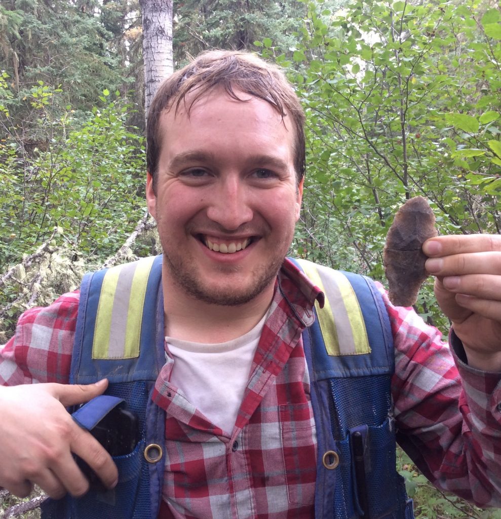
In the impact assessment stage, we conduct a ground survey of the prescribed blocks and roads. During a survey our experienced archaeologists and First Nations field assistants look for high potential areas and dig small shovel tests to look for artifacts. When a site is found, we determine how big it is and what kind of site it is, and make a judgement about its importance. If it’s deemed significant, we flag it off and notify the forestry company.
During the final stage of the program we report all our survey data, site information, and artifact data to the Archaeological Survey of Alberta. We catalog artifacts, draw site maps, produce GIS layers and maps of the planned developments and survey areas. We also write a detailed report of the entire program, which is submitted to the government for review.
Results
Ember’s focus is on minimizing Alberta Plywood’s impacts on the archaeological record, while also minimizing disruption to harvest planning and operations.
At the end of every season we’re confident that we’ve identified and protected most of the archaeological sites in the development area. Aside from prescribing a few small residual patches in cutblocks, Alberta Plywood’s forest harvest operations are usually unaffected by their historical resources management program.
Related Projects
Lesser Slave Lake Northshore Indigenous Heritage Inventory
Project Objectives In collaboration with Swan River First Nation (SRFN), Tolko Industries, and Ember Archaeology, this project aimed to increase archaeological knowledge about the north shore of Lesser Slave Lake, while integrating Indigenous history and Traditional Land Use (TLU) knowledge. Special Considerations In 2021, Tolko Industries presented their plans to harvest areas on the north
View Project
Forest Management Unit S20 Baseline Heritage Inventory: an Archaeological Collaboration
Project Objectives In collaboration with Swan River First Nation (SRFN), West Fraser, and Ember Archaeology, this project aimed to increase archaeological knowledge about the southern Lesser Slave Lake basin region while integrating Indigenous history and Traditional Land Use (TLU) knowledge. Special Considerations Titled the ‘Baseline Heritage Inventory,’ this multi-year project surveyed several culturally significant areas
View Project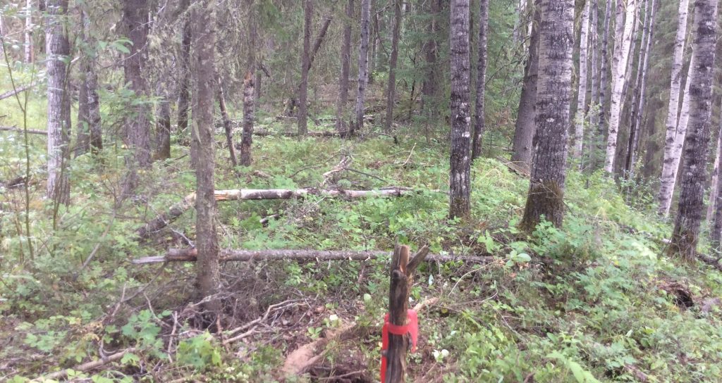
Tri-City Gravel Contractors Cold Lake Gravel Pits
The Task Obtain Historical Resources Act clearance for two large proposed gravel pits in the Cold Lake region. The pits were deemed to be likely to impact archaeological sites due to their proximity to Marie Creek, and a ‘Schedule A’ Historical Resources Impact Assessment letter had been issued to the developer. Special Considerations
View Project