Project Category : Sand & Gravel
Tri-City Gravel Contractors Cold Lake Gravel Pits
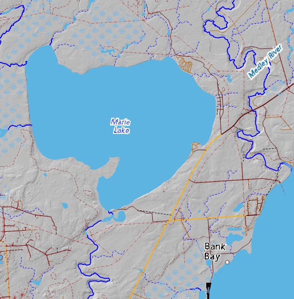
Obtain Historical Resources Act clearance for two large proposed gravel pits in the Cold Lake region. The pits were deemed to be likely to impact archaeological sites due to their proximity to Marie Creek, and a ‘Schedule A’ Historical Resources Impact Assessment letter had been issued to the developer.
The Task
Obtain Historical Resources Act clearance for two large proposed gravel pits in the Cold Lake region. The pits were deemed to be likely to impact archaeological sites due to their proximity to Marie Creek, and a ‘Schedule A’ Historical Resources Impact Assessment letter had been issued to the developer.
Special Considerations
A very significant Clovis period (10,000 – 12,000 years old) archaeological site had been recorded on the shores of Marie Lake, and many important sites have been identified on Cold Lake, so the region is generally considered to be archaeologically significant. The hinterland areas off the lakeshores; however, had not been well surveyed.
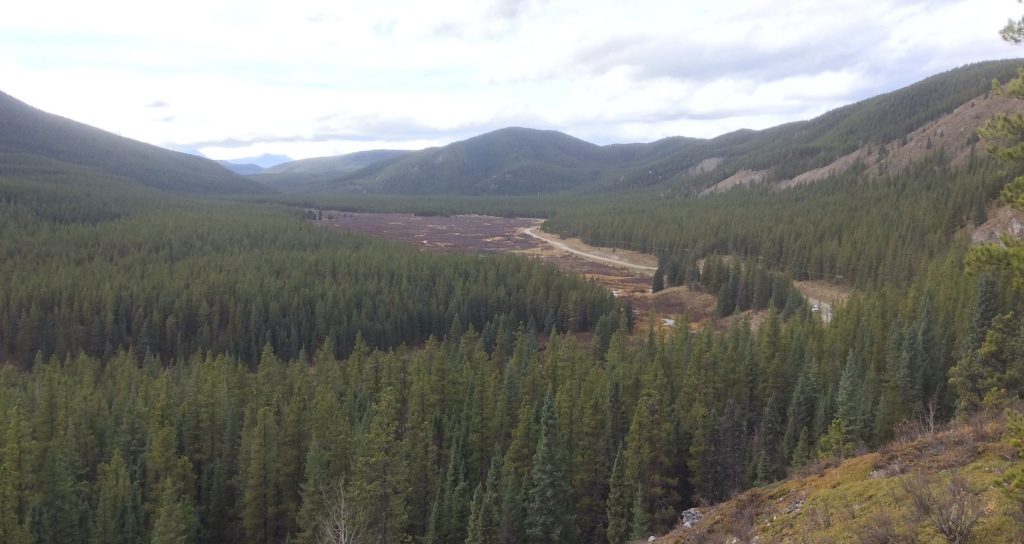
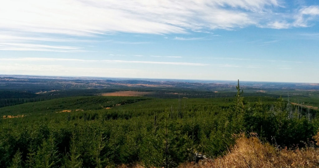
The two proposed pits were located in dense forest, with minimal previous impacts, very little surface exposure, and poor access.
Our Solution
Ember’s forestry background, and extensive experience conducting historical resources impact assessments of large footprint developments in heavily vegetated, undisturbed, remote locations allowed us to complete this project efficiently.
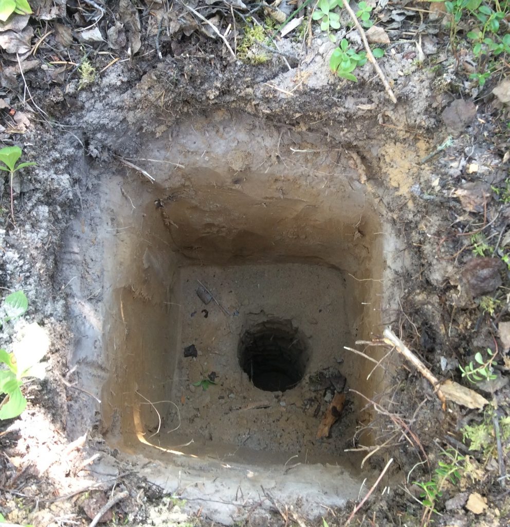
We adapted our standard forestry archaeological survey techniques to these developments. We started with a GIS review of the proposed development area to identify the high potential locations and landforms. Then we conducted a pedestrian survey of those areas, with judgemental shovel testing where the archaeologists thought sites were likely. To keep travel costs to a minimum, our two-man crew stayed in the Marie Lake campground, near the developments.
Results
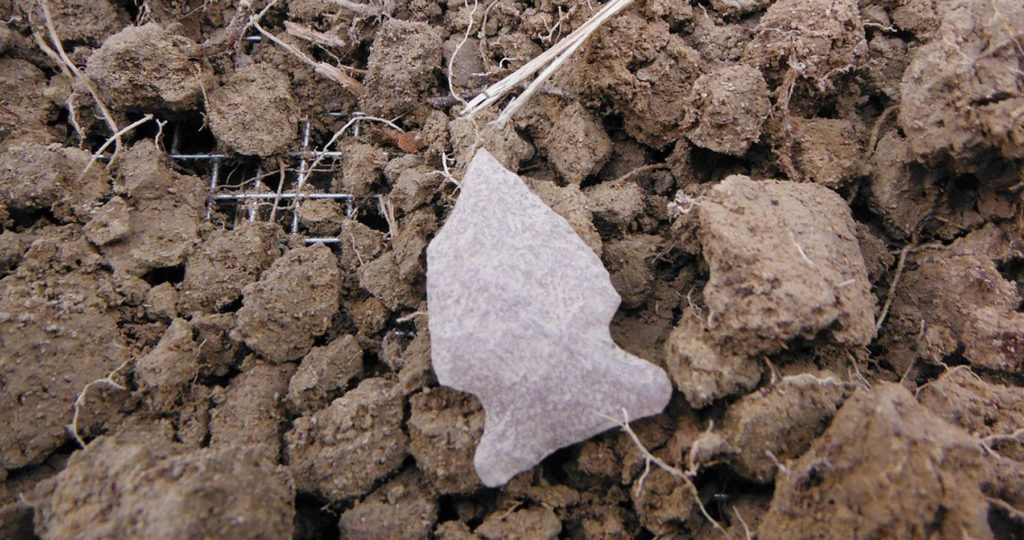
We identified a small archaeological site in one of the two gravel pits. Systematic shovel testing allowed us to determine that the site was small and had limited information potential. We deemed that the identification of the site and collection of a representative artifact sample mitigated for the site’s probable destruction as a result of gravel pit development and recommended that the development proceed as planned.
Assessment of both developments, including travel from Edmonton and back, was completed by a two-man crew in under three days. The project was successful in two ways:
- The developer received the go-ahead to proceed with the development with minimal costs and delays.
- A previously unknown archaeological site was identified and documented. Though small in size, the site helps to fill in our understanding of pre-contact occupation of the hinterlands around and between the major waterbodies in the lakeland region, and helps to predict the location of other similar sites in the future.

