
Post Category : Glossary Local Archaeology Method & Theory
How are archaeological sites buried?

By Angela Younie on April 3, 2023
So much dirt!
One of the most common questions we are asked is: “how are archaeological sites buried?” and “Where does all the dirt come from?” It doesn’t make sense for layers of dirt to be covering the world deeper and deeper over time, right? Well, that’s because it’s only part of the story. Did you know that dirt is constantly moving from one place to another? A process known as erosion breaks down rock and other materials through combinations of wind, rain, waves, temperature, gravity, chemical weathering, and human or animal disturbance. Almost everything can be worn away by these forces eventually – soil, rocks, hills, mountains, buildings, or the remains of decomposing trees in the forest!
How do we know that?
Geoarchaeology is the understanding of how natural mechanisms affect the formation of archaeological sites. Archaeologists with an understanding of geological processes can reconstruct what happened at a site when people were there, and after it was abandoned! Basically, particles that are worn away get moved by wind and water and deposited in new places. These new particles that collect together in their new home are called sediments. That’s what most of us call dirt, but some people that study geology and archaeology can take offence if you call it that! Mineral sediments are made of tiny particles of rocks, and they come in various sizes. Sediments can range from extremely fine clays to moderate-sized silt, to coarse-sands and gravels. Organic matter in soils can come from fallen leaves, dead trees and their roots, fungi, and the remains of animals.
Diving deeper: a glossary list
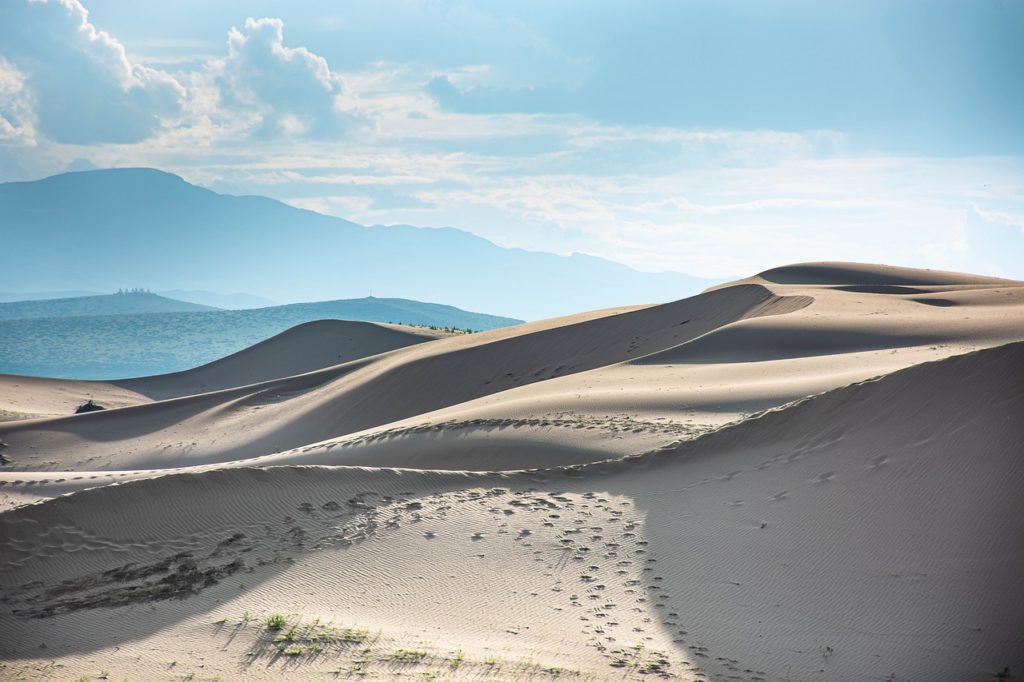
- Aeolian deposits are wind-blown, and are usually sand and silt found at the edges of valleys and dry lake beds or in sand dune fields. For example, see how this entire village has begun to be buried by wind-blown sand in only 50 years!
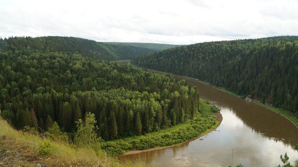
- Alluvial deposits are carried by rivers, streams, meltwater and runoff, and can range from clay to sand depending on the speed and strength of the water. They include floodplain and overbank deposits that happen when rivers flood past their banks. Sometimes you might also hear the word fluvial, which is more commonly used for processes of river erosion and deposition.
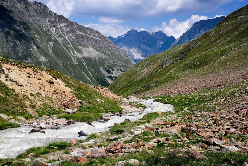
- Colluvial deposits are caused by gravity, and can include landslides with deposited materials as big as boulders!
- Lacustrine deposits settle to the bottom of a lake bed when the water is calm, while coarser sands may be washed to the beach by wave action.
- Glacial deposits were carried or pushed by glaciers as they crept forward across the landscape, and were left behind when the glaciers receded.
- Anthropogenic deposits are created by humans. We alter our landscapes and environments in an astounding number of ways!
In conclusion
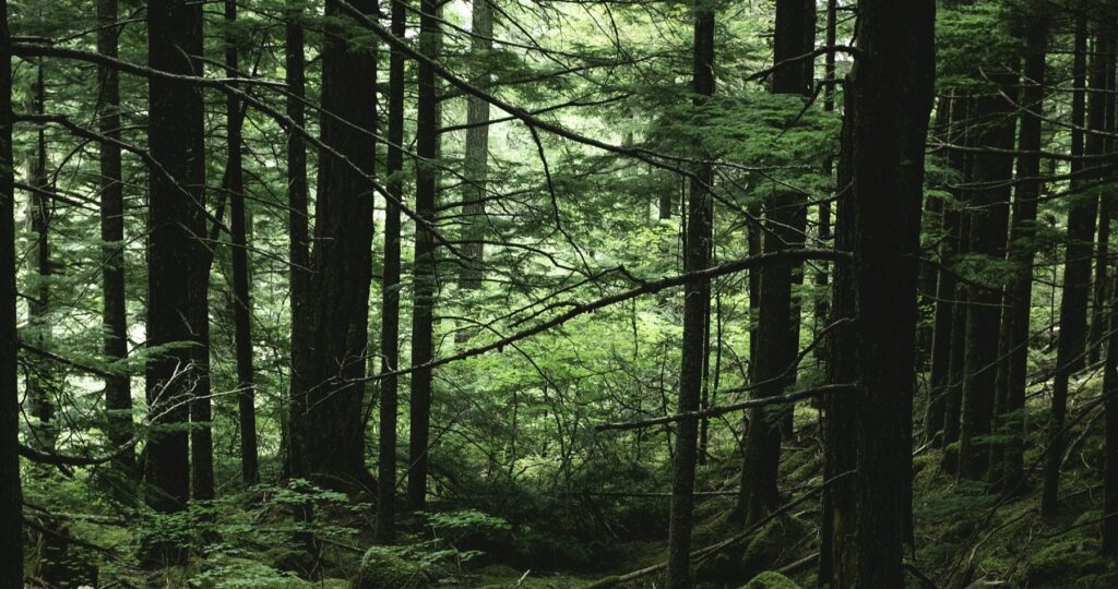
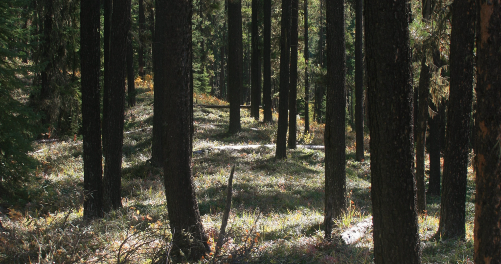
Geoarchaeology can help us interpret how old a site might be and can inform archaeologists how deep they must dig to find new sites. For example, silts deposited along floodplains at the edges of rivers can build up very fast and bury sites under many meters of sediment. Whereas grasslands and wetlands might bury things under deep layers of organic matter, and active sand dunes blowing across dune fields can move entire sites that are buried inside them! In comparison, rocky ridges and overlooks might not be buried at all, and artifacts left behind hundreds or even thousands of years ago can rest on the grounds surface to be worn smooth by wind and weather.
Members of Ember’s staff have found spear points as old as 8,000 years under 10 cm of forest litter and plastic bags buried 2 meters deep in a flood plain. Although it may seem reasonable that deeply buried sites are older than the shallow ones, but a site’s depth is dependent on the local environmental forces and a good understanding of geology is extremely helpful to archaeologists.
Angela Younie
Sr. Project Archaeologist & Ember Alumni
Angela was a Sr. Project Archaeologist, the primary contact for Treaty 8 First Nations and our Team Lead for Indigenous Services. They have over 15 years of experience in cultural resources management, and has worked in Alberta, Yukon, Alaska, and California before joining Ember in 2021. Their experience includes directing archaeological survey, excavation, and laboratory analysis for precontact and historic-era archaeological resources, ethnographic recording and mapping of traditional use sites, stone tool technologies, and Consultation with First Nations communities.
In the fall of 2022, Angela left Ember to continue working in California with Far Western Anthropological Research Group. We wish them all the best!
Related Posts

By Fallon Hardie
February 12, 2025
Culturally Modified Trees of the Interior, British Columbia
A Foreword For the Archaeologists who’ve found themselves interested in the niches of Ecology and Landscape-Use-Dynamics, we tend to recognize the landscape as a dynamic whole; a manuscript of activities, knowledge, and ideologies that human societies have crafted and applied to the environments in which they live. However, Professional Consulting Archaeologists in Cultural Resource Management
Keep Reading
By Maegan Huber
January 31, 2025
Alberta’s Boreal Sand Hills
Alberta’s Boreal Sand Hills Some people may be surprised to learn that Alberta is home to a series of large sand hill complexes made up of large forested dune features. Typically, when we think of sand dunes we tend to picture hot and dry regions with minimal vegetation, often situated near oceans. However, Alberta’s boreal
Keep Reading
By Corey Cookson
October 17, 2023
International Archaeology Day
What is it? International Archaeology Day is a celebration of Archaeology and it’s contributions to society! International Archaeology Day annually falls on the third Saturday of October (October 21st), and was first celebrated in 2011. The day was originally designed on a national level to help promote public participation and awareness of the important contributions
Keep Reading