
Post Category : Archaeonerdism Local Archaeology
The Archaeology of Wildfire

By Kurtis Blaikie-Birkigt on May 16, 2016
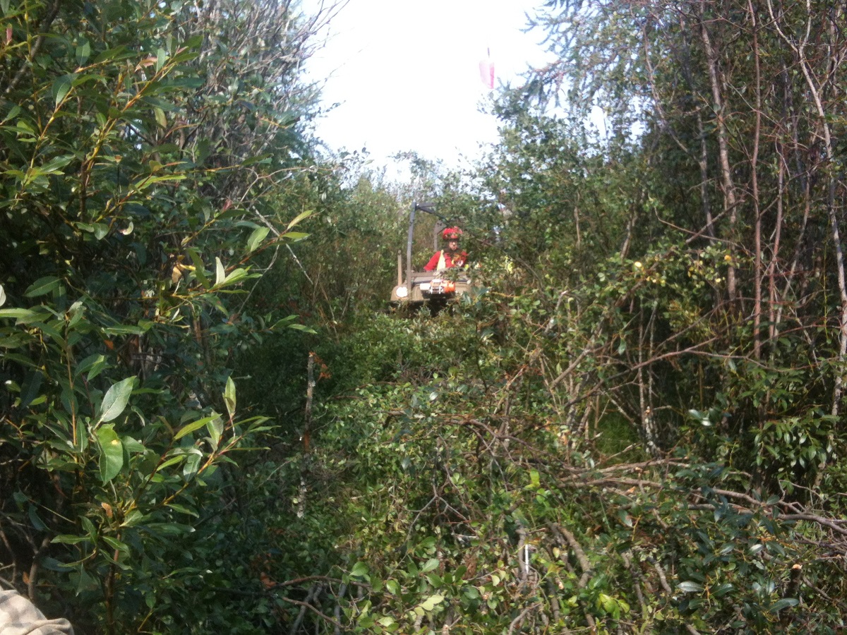
This is a guest post by Christina Poletto, a Master’s student with the Institute of Prairie Archaeology at the University of Alberta Department of Anthropology. She’s studying the palaeoenvironmental signature of wildfire, to look for signs of pre-historic controlled burning by indigenous societies in northeastern Alberta.
Fire is almost a constant in Alberta’s north, and its impact can be felt not only on the environment but on populations. In recent years’ fire has been seen in a negative light due to extreme fires that have impacted communities in northern Alberta. The 2016 fire in Fort McMurray has had a devastating impact on people in the area, displacing thousands and damaging houses and buildings. However, fires were not always this large and destructive.

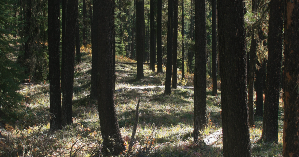
As part of the boreal forest’s natural cycles, fires allowed for a diverse mosaic of landscapes to be re-established and helped support animal communities in the area. These natural fire cycles also help to remove ‘dead’ organic materials like fallen trees and overgrown plants. If these materials are left to build up, they become another fuel source for fire and make fires more intense. This has led fire scientists to argue that the more the forest is regulated and the more fires are suppressed, the more intense and dangerous fires become. In the years before fire suppression, fires were a crucial and positive part of the success and diversity of the boreal forest.
In addition to natural fires, northern Alberta First Nations groups had traditions of cultural burning. These fires were highly regulated; they were only started under specific circumstances and were dependent on factors like weather conditions and the amount of fire fuel in an area. Early spring was the preferred season because the ground was dry enough to burn but damp enough to prevent the fire from getting too large, whereas during the fall it was drier, making it more dangerous to begin burning. When all the conditions were right, fires would be used to create landscape features like hay meadows or to form and maintain trails, and to promote plant and animal communities re-entering into an area. Ethnographic studies like ones conducted by Henry T. Lewis and Theresa Ferguson with the Dene-Tha (Slavey) in northwestern Alberta documented the longstanding tradition of controlled burning. Elders commented that these practices would not only promote the movement of people but would encourage vegetative communities to thrive and entice animals to revisit areas. In the forest, ensuring the availability of food resources for the months ahead and for years to come was the primary goal of these activities, which is why such great care was taken with the burning process.
In an archaeological site with deep deposits, records of these traditions could be noted by multiple layers of charcoal related to occupation periods. However, in many parts of the boreal forest, the soil deposits are shallow and make it challenging to see these patterns. Instead, researchers can look at soils in lake basins to help recreate these parts of the record. With these ancient and modern records, we can understand how different plant species respond to different fire types, and model the regrowth and response of animal communities. Understanding how First Nations groups manipulated these environmental relationships enhances our understanding of past groups living in the boreal forest. IN addition to its archaeological value, this knowledge can be integrated into modern forest management practices. In some parts of Alberta, highly regimented cultural burning through collaborative efforts has been reintroduced as a way to help minimize fire risk and to promote a healthy, diverse boreal forest.

Related Posts

By Fallon Hardie

January 28, 2026
Archaeology in Pop Culture
Anyone whose a bit of a movie buff is well-aware of the strong archaeological influence in the Action-Adventure genre. Formative classics like Indiana Jones, The Mummy, and Tomb Raider, for instance, all feature heavy archaeological influences — but not exactly positive ones. Sure, everyone’s beloved Indy battles Nazi’s, Lara Croft is a strong female icon,
Keep Reading
By Maegan Huber
January 31, 2025
Alberta’s Boreal Sand Hills
Alberta’s Boreal Sand Hills Some people may be surprised to learn that Alberta is home to a series of large sand hill complexes made up of large forested dune features. Typically, when we think of sand dunes we tend to picture hot and dry regions with minimal vegetation, often situated near oceans. However, Alberta’s boreal
Keep Reading
By Corey Cookson
October 17, 2023
International Archaeology Day
What is it? International Archaeology Day is a celebration of Archaeology and it’s contributions to society! International Archaeology Day annually falls on the third Saturday of October (October 21st), and was first celebrated in 2011. The day was originally designed on a national level to help promote public participation and awareness of the important contributions
Keep Reading