Post Category : Field Life Local Archaeology Method & Theory
The View From Out Here
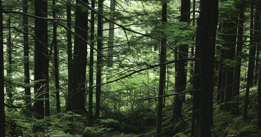
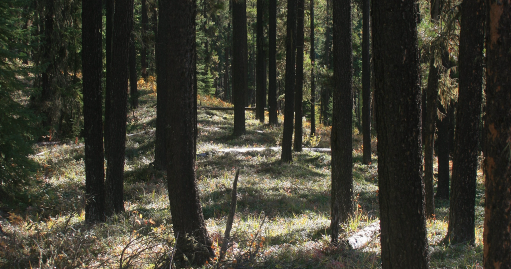
We took this photo in the fall of 2016 while completing fieldwork for Sundre Forest Products’. It’s of the Clearwater River valley as seen from a site we found that year. The site was easily identified because artifacts were eroding out of the steep valley wall and the ATV trails that cross the landscape.
From here, one would be able to keep an eye on traffic (human, moose, deer, etc.) through the valley (if the vegetation allowed it, that is). This is probably one of the reasons it was used as a campsite in the past, and still is to this day – we found a couple of modern fire pits at the ancient site.
Views are becoming an increasingly important and interesting part of predicting site locations and are becoming easier to consider. We have GIS to thank for that. Here former Tree Time archaeologist, Tim Allan, has an update on his MA research that provides an example of what a view-shed analysis can look like.
In the case of the Clearwater River site and the Hummingbird Creek site Tim discusses, both appear to be located to command the view – look how similar the landscapes are.

As more view-shed analyses are undertaken in Alberta, we may see patterns emerge that indicate that people were choosing to place their structures or settlements in a location that ensured they could see certain landmarks (like kiva towers), be seen from certain landmarks (like the possible Whitby signal station), or to be protected from views altogether (like low-elevation defensive sites in the islands of Fiji).
These analyses of the views to, from, and between contemporaneous sites can provide us with some clues as to social interactions and climates in the past.


