
Post Category : Field Life Local Archaeology
Working in the Winter

By Kurtis Blaikie-Birkigt on November 20, 2017
Specializing in forestry archaeology in Alberta, I haven’t had much opportunity to work in winter conditions. One of the nice things about forestry is its relatively long planning horizon and the flexibility to schedule our work.
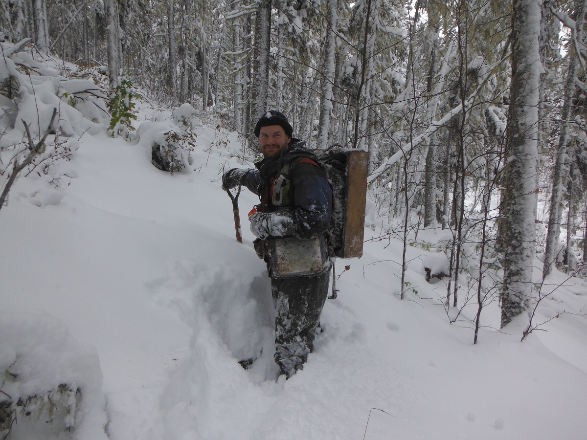
Unfortunately, in fall 2012, a variety of factors conspired to push some of our fieldwork into late October, and then we got an unusually early and heavy snowfall in northwestern Alberta. The heavy snow prevented the ground from freezing, so we went ahead with our planned surveys of forestry cutblocks, conducting landform evaluation and shovel testing as normal.
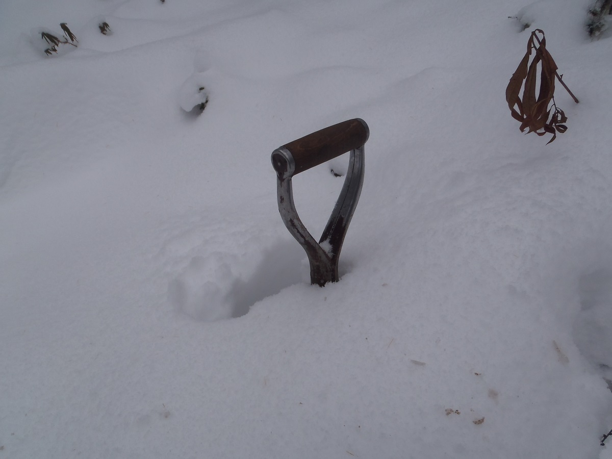
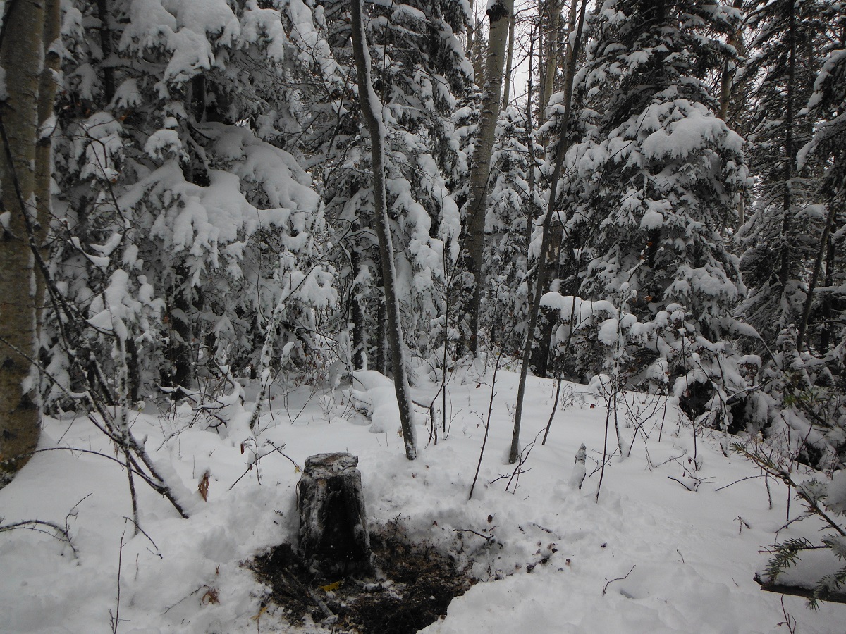
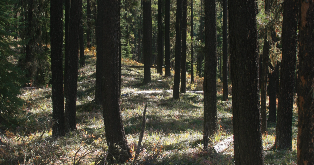
Trudging through 50 cm of fresh powder gave me some perspectives on moving and living in the boreal forest under winter conditions that I hadn’t previously gained. I had wondered what effect snow cover would have on mobility patterns. Summer travel in the forest tends to follow linear features like river and stream valley margins, but I’d wondered if under winter conditions that would still be the case. This week it certainly was. We were working on the Chinchaga River valley, and found that travel along the valley margin was much easier than cutting cross country or on the slopes or lower terraces. I’d say the advantage was even greater than under summer conditions. The level backcountry had deeper snow than the exposed margins, and the snow on the slopes was even deeper than that. The grey overcast sky and falling snow also obscured the sun, which made it very hard to maintain a bearing cross-country without a compass. Without a landform to follow, I could have been walking in circles and wouldn’t know until I hit my tracks.
If I was camping under those conditions, however, I think I’d be choosing very different locations than I would in the summer. The distinct valley margins, corners and points that we tend to focus our surveys on had great views of the river and were on our preferred walking paths. But they were also very exposed to the biting wind coming out of the northwest. Even the south-facing edges were exposed. The most comfortable locations we found to break for coffee were just back from the edge, sheltered in stands of immature spruce. For the last couple seasons, I’d been suspecting that our focus on exposed corners and points was only finding one class of sites, and this experience reinforces that suspicion. I think that winter camps in particular, and possibly all larger camps, would be located back from the sharp landform edges that we’re targeting most. Drainage is still a factor, especially on warm winter days when the snow turns to mush, so we should still be looking for local elevation. But maybe we should be testing some less distinct elevated landforms a little back from the edges if we want to find sites occupied during less than ideal weather.
(This brief article was originally published in the Archaeological Society of Alberta Newsletter Vol. 1, January 2013)
Related Posts

By Fallon Hardie
March 20, 2026
Fight or Flight: Lessons Learned From a Cougar Encounter, Part II
Continuing the Conversation In February 2026, Fallon Hardie (Jr. Field Director, Ember) met with Kim Titchener (President and Founder, Bear Safety & More Inc) to discuss the 2024 encounter. The interview covered the increasing challenges of cougar encounters in Alberta, predator / prey behaviour dynamics, the criticality of expert training based on current data, and
Keep Reading
By Fallon Hardie
May 19, 2025
Fight or Flight: Lessons Learned From a Cougar Encounter
Fight or Flight: Lessons Learned From a Cougar Encounter While completing Historic Resource Impact Assessments (HRIA) in the Lower Eastern Foothills of Alberta during the Summer of 2023 (maybe mid-July or August), I experienced something allegedly unlikely: a cougar encounter. Like any professional working in the wilderness, I have completed numerous Bear Safety and Wildlife
Keep Reading
By Maegan Huber
January 31, 2025
Alberta’s Boreal Sand Hills
Alberta’s Boreal Sand Hills Some people may be surprised to learn that Alberta is home to a series of large sand hill complexes made up of large forested dune features. Typically, when we think of sand dunes we tend to picture hot and dry regions with minimal vegetation, often situated near oceans. However, Alberta’s boreal
Keep Reading