
Tag: methods

By Elenore
September 25, 2017
HRV 4C – What Happens Now?
You have made a plan for a development and reviewed your plan against the Listing of Historic Resources. You’ve found that you have a conflict on your land parcel, it is listed with an HRV of 4C. What does that mean? An HRV of 4C indicates that an historic resource site is located on that
Keep Reading
By Britt Romano
August 28, 2017
Index to Alberta Homestead Records 1870 to 1930
Many people are interested in researching their family history and genealogy. The Index to Alberta Homestead Records are an excellent place to start your research. The following blog will give instructions on how to use the Index. If you wish to learn what the homestead records are, or how they can help archaeologists, please check
Keep Reading
By Britt Romano
August 14, 2017
The Alberta Homestead Process
Homestead records are a valuable research tool for archaeologists, historians and for people researching their own family history or genealogy. If you want to see how homestead records can help archaeologists please read our previous blog post. Before I explain how to use these records, I will give a brief description of the homesteading process
Keep Reading
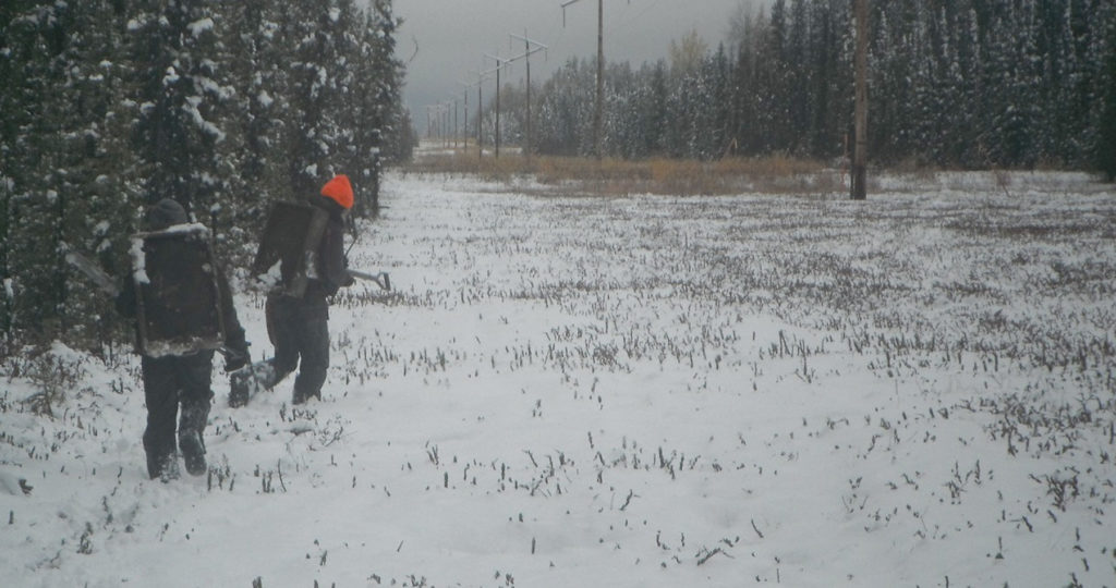
By Britt Romano
July 3, 2017
How Homestead Records Can Help Archaeology: An Example from Peace River
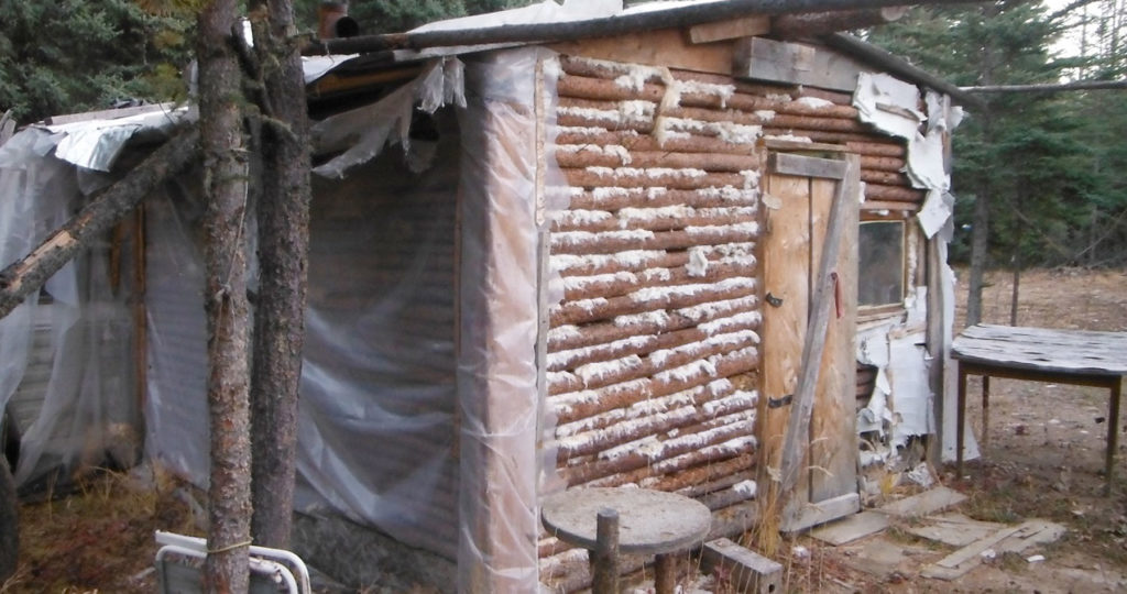
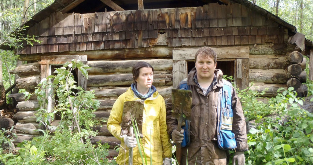
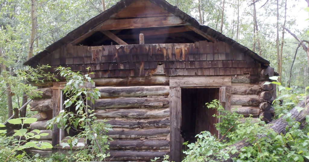
In the summer of 2016, while doing some work on behalf of Northern Sunrise County near Peace River, Tree Time archaeologists, recorded a cabin as an archaeological site. Although the cabin had clearly been renovated in the late 20th century with wood paneling and plastic sheeting, the cabin showed signs of earlier construction. The cabin
Keep Reading
By Elenore
June 26, 2017
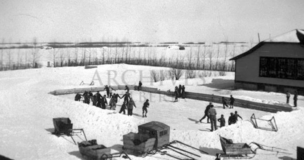
The Glenbow Museum Archives
The Glenbow Museum Archives are an exciting tool we can use as archaeologists to learn more about some historic sites that we encounter in our day to day field work, and to predict where we might find a certain type of historic site. We recently worked on a historic site located between Mundare and Vegreville
Keep Reading
By Elenore
June 12, 2017
Kolomea School
In 2013 Tree Time archaeologists got a chance to work on a relatively rare type of historic period site in Alberta: a historic schoolhouse. The Kolomea school site was brought to the attention of Tree Time Services by construction personnel for a transmission line project. The site consists of three concrete foundations surrounded by non-native
Keep Reading
By Corey Cookson

February 20, 2017
Finding Archaeological Sites from the sky using high-tech advances in archaeology
In recent months, news feeds have been erupting with stories of “Lost Maya Cities discovered using LiDAR”, “revealing the secrets of Stonehenge using LiDAR”, “LiDAR uncovers ancient city near Angkor Wat”, and the popularity of “space archaeologist” Sarah Parcak, but this technology is not limited to finding the remnants of “lost civilizations” in far reaching
Keep Reading
By Britt Romano
February 6, 2017
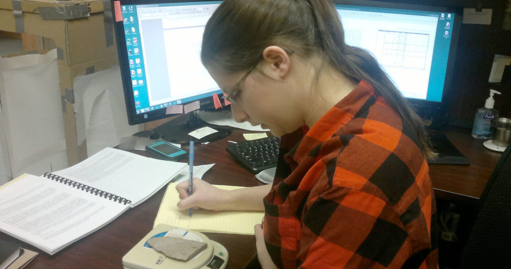
Introduction to CRM Part 5: Reporting
Once we have surveyed our targets and evaluated any sites we have found, it is time to return to the office. All of our notes are taken on an ipad in the field. Now all we have to do is export our notes into a database which eliminates the hours spent on data entry. Note
Keep Reading
By Britt Romano
January 30, 2017
Introduction to CRM Part 4: Evaluating a Site
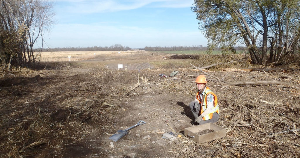
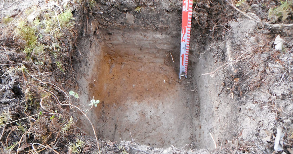
When we identify a site, we conduct further evaluative testing to determine the type, character, and extent of the site. This is done according to government guidelines, and depends on the type of site, and the type of landform. If the landform allows for it, testing occurs in each cardinal direction or in a grid.
Keep Reading
By Britt Romano
January 23, 2017
Introduction to CRM Part 3: Archaeological Survey
Using information compiled in the office, the next step of an HRIA is to leave the comforts of home behind and to venture into the field. Although there is a perception of archaeologists working at large excavations, often dressed in khakis and maybe wearing a fedora, archaeological survey is the most common type of field
Keep Reading