
Category: Heritage Management

By Teresa Tremblay
October 23, 2017
Why do HRIAs (Historic Resource Impact Assessments)?
“Archaeological heritage is an essential element in the affirmation of our Canadian identity and a source of inspiration and knowledge. It is the policy of the Government of Canada to protect and manage this heritage.1” This sentiment is echoed through all levels of government and most provinces2, territories, and municipalities have either a piece of
Keep Reading
By Elenore
October 9, 2017
What is Mitigative Excavation?
Mitigative excavation is the process of digging an archaeological site that is threatened either by development or natural erosion. Mitigative excavations have different goals than academic excavations. The goal of mitigative excavations is is to save as much information about the site before it is destroyed, whereas in academic digs the goal is to answer
Keep Reading
By Elenore
September 25, 2017
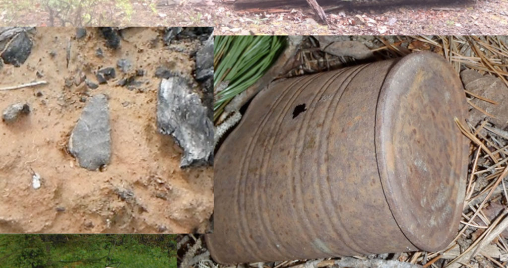
HRV 4C – What Happens Now?
You have made a plan for a development and reviewed your plan against the Listing of Historic Resources. You’ve found that you have a conflict on your land parcel, it is listed with an HRV of 4C. What does that mean? An HRV of 4C indicates that an historic resource site is located on that
Keep Reading
By Elenore
September 11, 2017
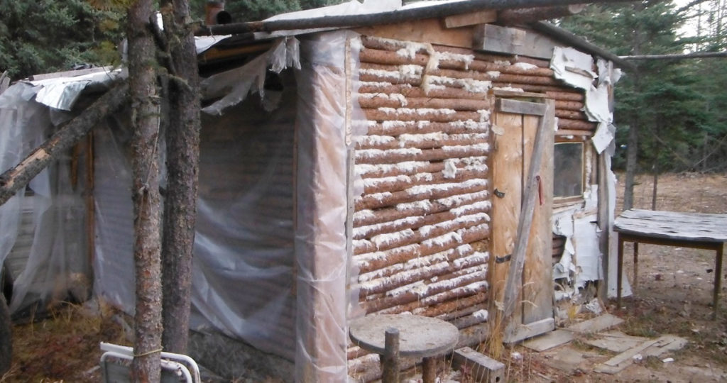
What is an Historic Resource Site?
The majority of Tree Time’s archaeological work is done in the context of Historic Resources Impact Assessments, but what is an Historic Resource? People are sometimes confused about what constitutes an historic resource because it is a very broad category. The first thing to come to most people’s mind would likely be the contents of
Keep Reading
By Britt Romano
August 28, 2017
Index to Alberta Homestead Records 1870 to 1930
Many people are interested in researching their family history and genealogy. The Index to Alberta Homestead Records are an excellent place to start your research. The following blog will give instructions on how to use the Index. If you wish to learn what the homestead records are, or how they can help archaeologists, please check
Keep Reading
By Corey Cookson

February 20, 2017
Finding Archaeological Sites from the sky using high-tech advances in archaeology
In recent months, news feeds have been erupting with stories of “Lost Maya Cities discovered using LiDAR”, “revealing the secrets of Stonehenge using LiDAR”, “LiDAR uncovers ancient city near Angkor Wat”, and the popularity of “space archaeologist” Sarah Parcak, but this technology is not limited to finding the remnants of “lost civilizations” in far reaching
Keep Reading
By Britt Romano
February 6, 2017
Introduction to CRM Part 5: Reporting
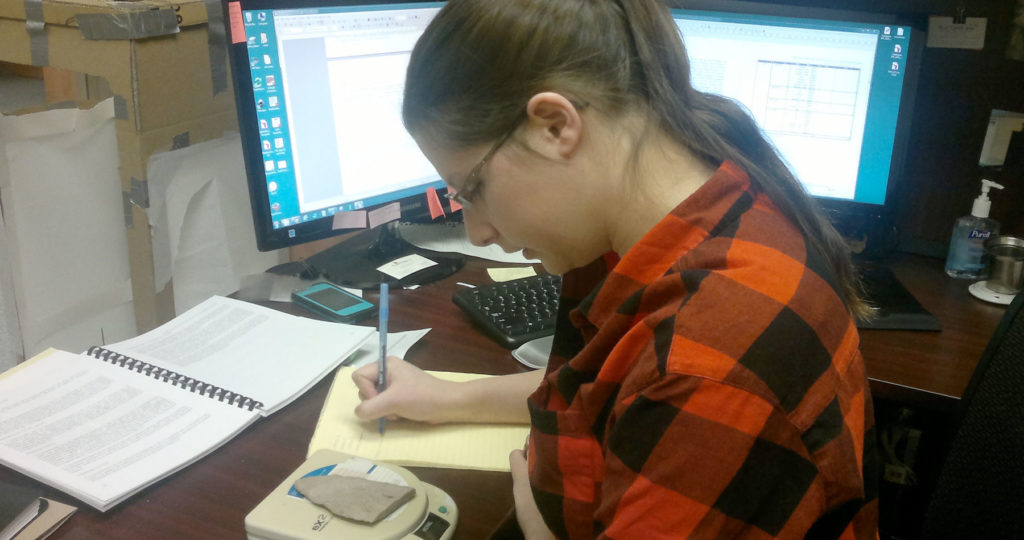
Once we have surveyed our targets and evaluated any sites we have found, it is time to return to the office. All of our notes are taken on an ipad in the field. Now all we have to do is export our notes into a database which eliminates the hours spent on data entry. Note
Keep Reading
By Britt Romano
January 30, 2017
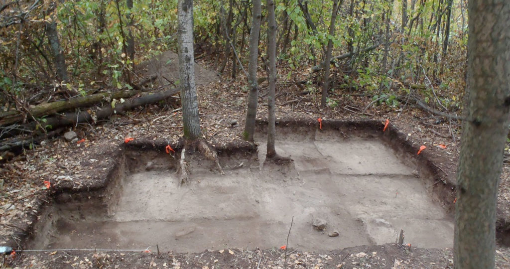
Introduction to CRM Part 4: Evaluating a Site
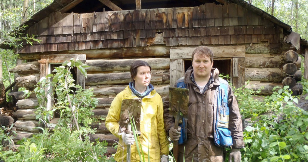
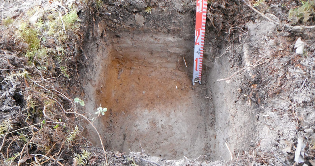
When we identify a site, we conduct further evaluative testing to determine the type, character, and extent of the site. This is done according to government guidelines, and depends on the type of site, and the type of landform. If the landform allows for it, testing occurs in each cardinal direction or in a grid.
Keep Reading
By Britt Romano
January 23, 2017
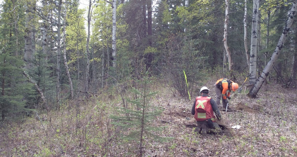
Introduction to CRM Part 3: Archaeological Survey
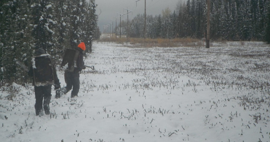
Using information compiled in the office, the next step of an HRIA is to leave the comforts of home behind and to venture into the field. Although there is a perception of archaeologists working at large excavations, often dressed in khakis and maybe wearing a fedora, archaeological survey is the most common type of field
Keep Reading
By Britt Romano
January 16, 2017
Introduction to CRM Part 2: Development Screening and Project Planning
The first step of a historic resources impact assessment (HRIA) happens in the office. Once we have the plan for a development, we need to assess whether the footprint will impact any recorded sites or if it has the potential to impact any unrecorded sites. We use our experience and knowledge of archaeology, GIS data,
Keep Reading